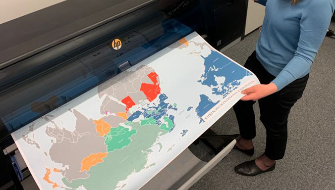
On June 29th and 30th 2021, the annual NATO Geospatial Board (NGB) was conducted at NATO HQ. The 2021 meeting was held in a hybrid format, combining physical attendance and virtual connectivity with those Nations and entities not being able to attend in person. As such, this hybrid model was deemed a success, and will be used as an example of how future Geospatial meetings might be conducted within NATO. The NATO Geospatial Community has been truly reinvigorated through this meeting which resulted in crucial outcomes and progress made contributing to improved Geospatial support to the Alliance. Besides that, it presented the NGB with important food for thought for possible future opportunities.

The meeting was particularly relevant in relation to the recently agreed NATO 2030 agenda and highlights NATO’s commitment to address common security challenges. During his welcoming remarks, the Deputy Assistant Secretary General for Intelligence, Major General Jürgen Brötz, underscored that: “We commit firmly to strengthen unity, cohesion and solidarity in order to overcome disagreements and ensure implementation of our common priorities”. The NGB provides advice to inform and support the North Atlantic Council through the NATO Military Committee on important geospatial matters, proposing changes to policy and advice on planning and production. As such, the NGB provides crucial information directly linked to the Alliance’s overall geopolitical security. Moving forward, the geospatial community highlights NATO’s cross-sectoral cooperation and collaboration activities combined under the theme of “operating off the same map”.
The meeting was chaired by Rear Admiral Paul Massart, Head of the Strategy and Policy Unit at the Joint Intelligence and Security Division/NATO HQ, and supported by the Deputy Chair, Chief Geospatial Officer, Colonel Marco Morelli and his secretariat from SHAPE. They were joined by the national delegates from the Alliance’s Geospatial Organisations, either in person or through VTC. The seven Non NATO Nations (Austria, Australia, Finland, Ireland, New Zealand, Sweden and Switzerland) and representatives from relevant European Union entities and NATO’s supporting organisations were also invited to take part in selected discussions during the conference.
